Geographic Information System
Services
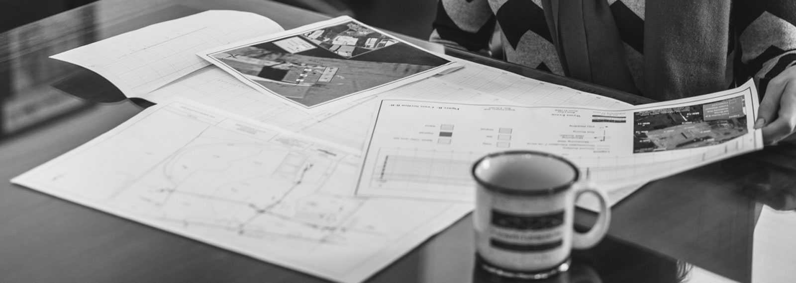
P. Joseph Lehman, Inc., Consulting Engineers utilizes GIS software in the production of cross sections, displaying a visual summary of what’s underneath the ground between two points. Using this software produces faster, more accurate cross sections. Combining additional layers, such as imagery, can provide further insight about a site.
We also create attractive, professional map graphics for use in reports, permits, or for display purposes. Customization allows for the production of maps showing only the features you want with the appearance, colors, labels, and other attributes needed to convey your information. We also perform operations on geographic data to determine a range of information. Some of the common spatial analysis tools include:
- Aspect – the direction of a face of a slope
- Viewshed – what is visible from a specific point on the ground
- Curvature – calculate the curvature of a surface
- Cut/Fill – calculate the volume change between two surfaces
- Hillshade – creates a shaded relief map of a surface based on an angle of an illumination source
- Slope – determine the slope/gradient of an area
- Hydrology – determine surface water flow direction, flow accumulation, flow length, and watershed areas
Many other spatial analysis tools are also available.
Lehman Engineers also focuses on data creation and conversion to create geographic data such as shapefiles and raster graphics based on an area of interest with the desired extent, datum, and projection. We are also able to convert data from one type, such as a shapefile, into others, such as CAD, raster, KML, or Geodatabase.
Unreferenced data (with no datum or projection) can be referenced to the desired datum and projection through the process of georeferencing. With data overlay we are able several different data layers in one area at once. Use of tools can combine, clip, intersect, or buffer features using a combination of the layers. Viewing an area with data collected at different times can show change over time.
With our data management and thematic mapping, we are able to manipulate large sets of geographic data and produce maps based on attributes of that data.
Services
- Cross Sections
- Map Graphics
- Spatial Analysis
- Data Creation and Conversion
- Data Overlay
- Data management and thematic mapping

